Atlas
.jpg)
The Jesuits who traveled around the world utilized their training in the natural sciences to describe the places they visited. They used astronomy to try to position the various locations accurately, be these rivers, mountains or cities, and they used their skills as cartographers to map these regions. Consequently, not only did their reports contain detailed descriptions of flora and fauna but they also had maps showing where such flora originated, and what were the characteristics of the landscape.
Jesuit missionaries also made use of already existing maps and older reports (especially from local writers) to make new editions, so it is inaccurate to say that their versions were always original or ‘never seen before’ renditions. Even so, the combination of the utilization of their advanced scientific skills and the fact that they also relied on first-hand experience (their own or that of another missionary, or a local convert for instance) ensured that the maps they produced were the most up-to-date for their time.
Taking China as a specific example, ever since the arrival of Ricci in 1583 and the construction of his first Chinese language world map in 1584, Jesuits in China had been producing ever-more refined maps. These were not only of the Chinese landmass but also other regions as well (as for instance Korea and parts of Russia). The maps themselves were strong instances of east-west cultural exchange, educating both European and Chinese viewers about other parts of the world.
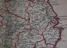
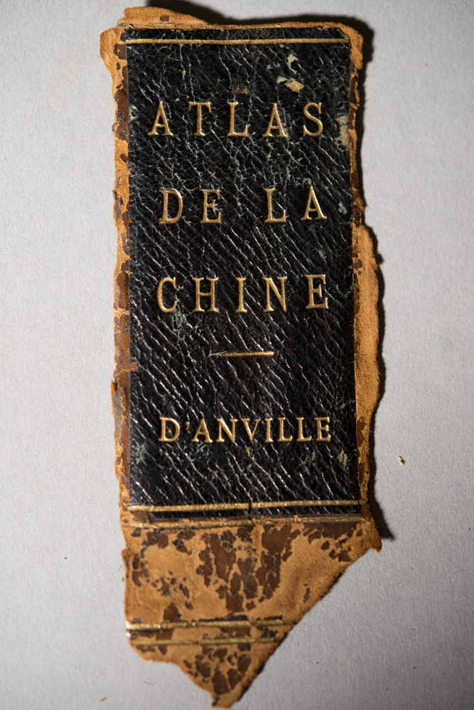
The maps produced in the Nouvel Atlas de la Chine, de la Tartarie chinoise et du Thibet, were not in fact produced by a Jesuit. The famous French cartographer Jean-Baptiste d’Anville (1697-1792) drew them. Even though he never went to China and worked largely in Paris, he utilized collections of Jesuit maps to complete his task, especially those that had been produced by Jean-Baptiste du Halde in his Description géographique, historique, chronologique, politique, et physique de l'empire de la Chine et de la Tartarie chinoise, enrichie des cartes générales et particulieres de ces pays, de la carte générale et des cartes particulieres du Thibet, & de la Corée; & ornée d'un grand nombre de figures & de vignettes gravées en tailledouce, which had first been published in Paris in 1735, and later in The Hague in 1736. An English edition was serialized between 1738 and 1741, and is digitized and available through this site.
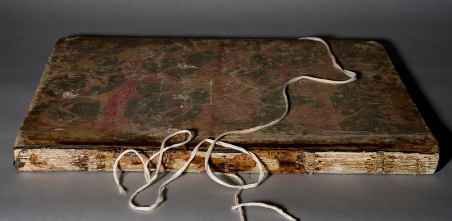
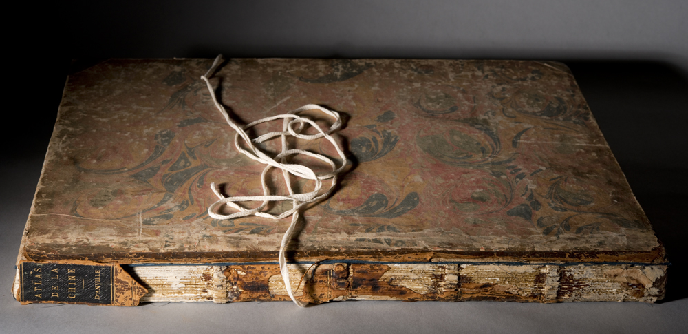
D’Anville published his Atlas in 1737, also at The Hague. The Burns Library copy is in good condition, with clear details of settlements, mountains, rivers and so on, based on the surveys Jesuits completed in China (in the construction of the Kangxi Atlas) between 1710 and 1718. This in turn drew on the work of the Jesuits in the preceding century. As can be seen by the accompanying photographs the binding is in poor condition, with fading exterior boards. Even so, this is a valuable and rare collection of eighteenth century maps of the empire of China. It would be of interest to those studying Chinese, Korean and Tibetan territory at the time (be this from historical, linguistic or geographical perspectives), as well as those considering historiographical issues like the manner in which this landmass was communicated to the outside world, and how this information was received.